Europe map with 51 countries and territories and names (SVG), editable vector, each country a separate shape (Natural Earth 1:10m)
Source: Natural Earth 1:10m admin-0 countries (public domain), country list checked against the UN M49 list (2 Nov 2026). Drawn by our own code; not an official map.
SVG vector, 4 layers (background, regions, outline, labels), every region a named path. Commercial licence included, one-time price, instant download.
Want to check the file first? Download the free blank version (SVG, no sign-up).
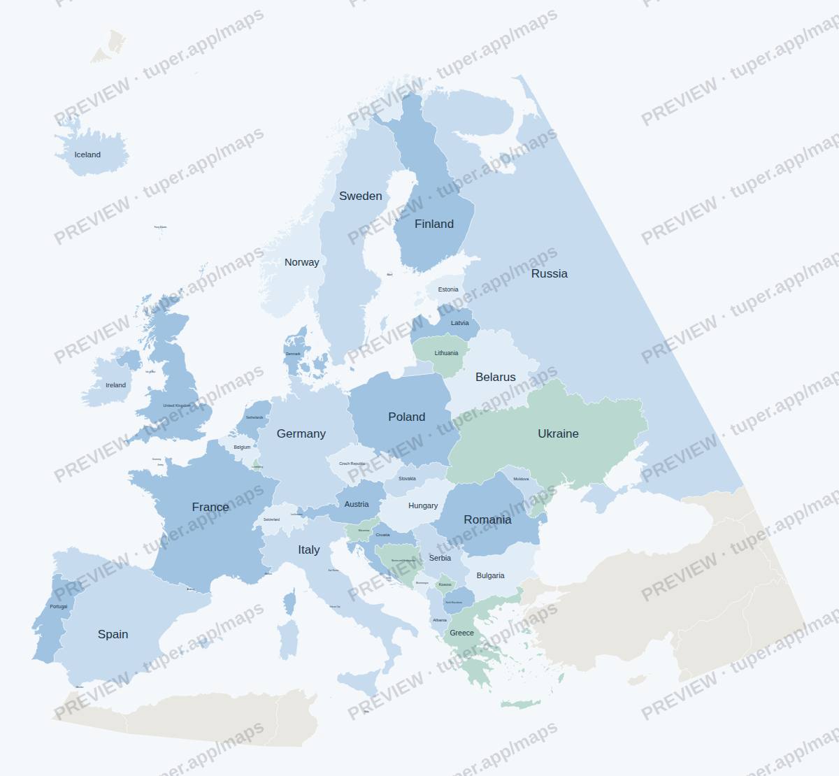
Watermarked preview (click for full size). The download is a clean SVG without the watermark.
Get this map
It also comes in all 117 maps (US, countries, world and continents).
All 117 maps: 29 USDWhat is in the file
- SVG vector, about 16 megapixels at full size: opens in Illustrator, Inkscape, Affinity Designer, Figma, PowerPoint (Insert > Pictures, then Convert to Shape) or a browser.
- Every county or region is its own
<path>with its name indata-name, so you can recolour one region or build a choropleth. - Layers: background, regions, outline, labels. Labels are live text (Arial); convert to outlines if you need fixed shapes.
- Neighbouring shapes share exactly the same edge: no gaps or slivers when you fill them.
Licence: use in your own and client projects, commercial included (slides, reports, print, web, video, products where the map is part of a larger design). Do not resell or share the files themselves as maps. One-time price, instant download through Polar (our payment provider, merchant of record).
More world, continent and US 50-state maps
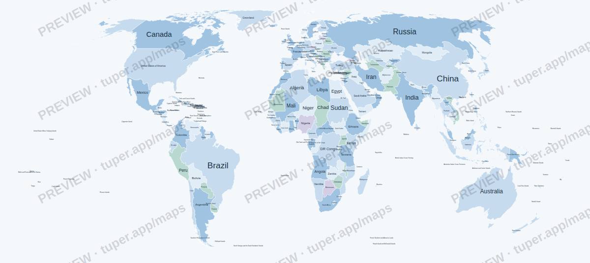 World
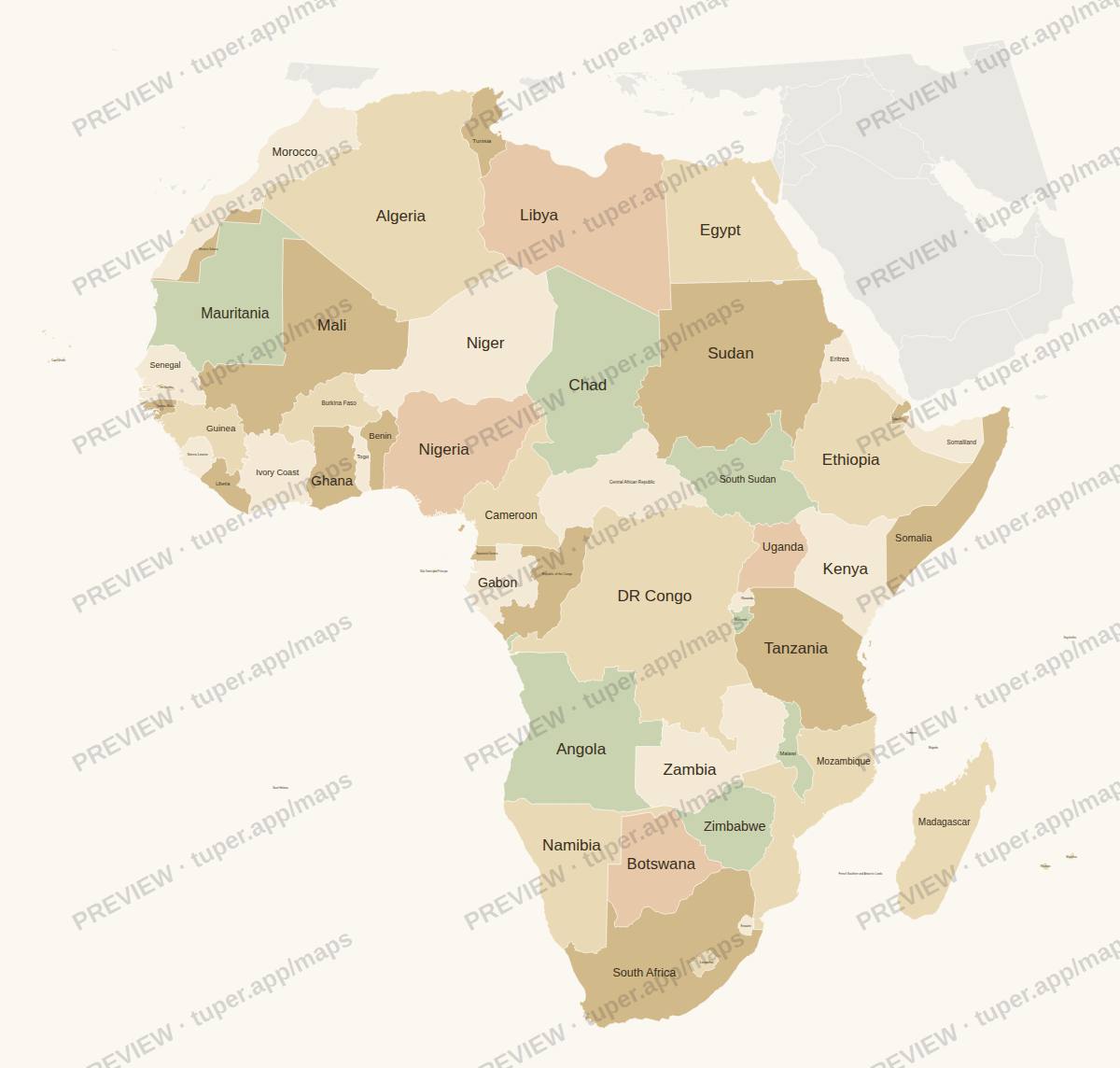 Africa
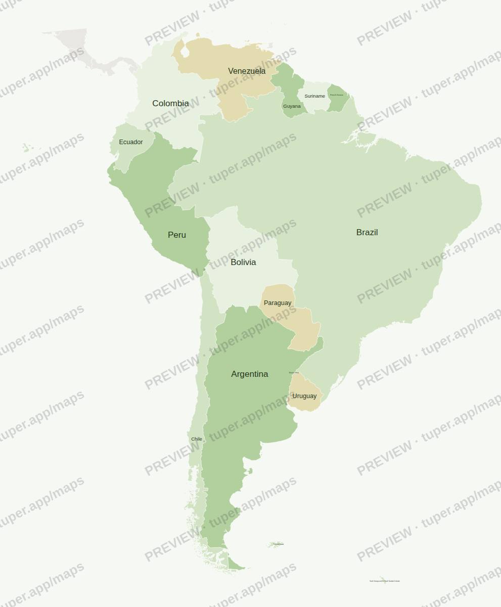 South America
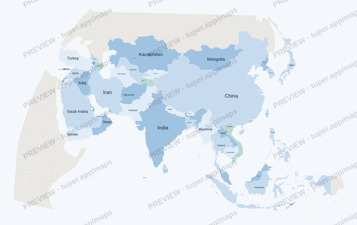 Asia
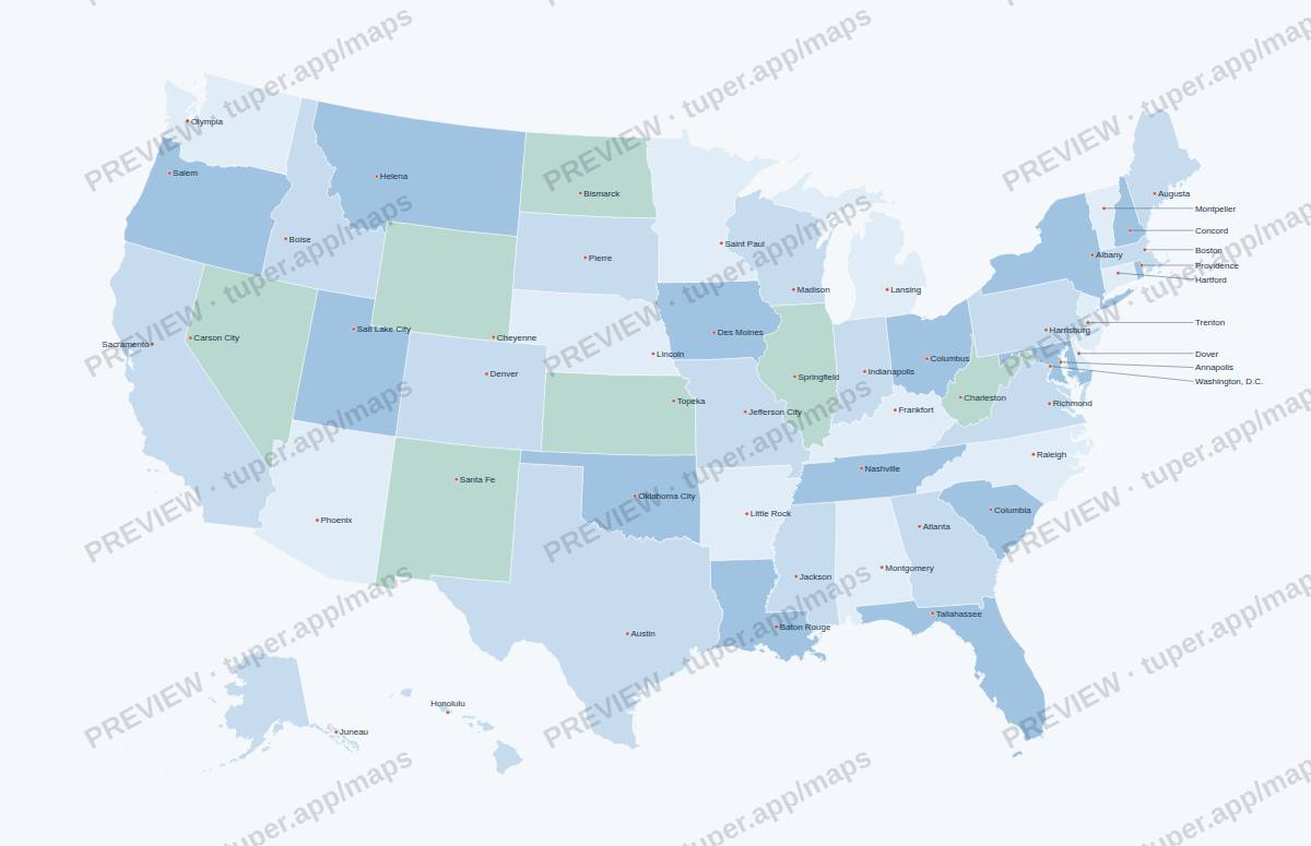 US states with capitals
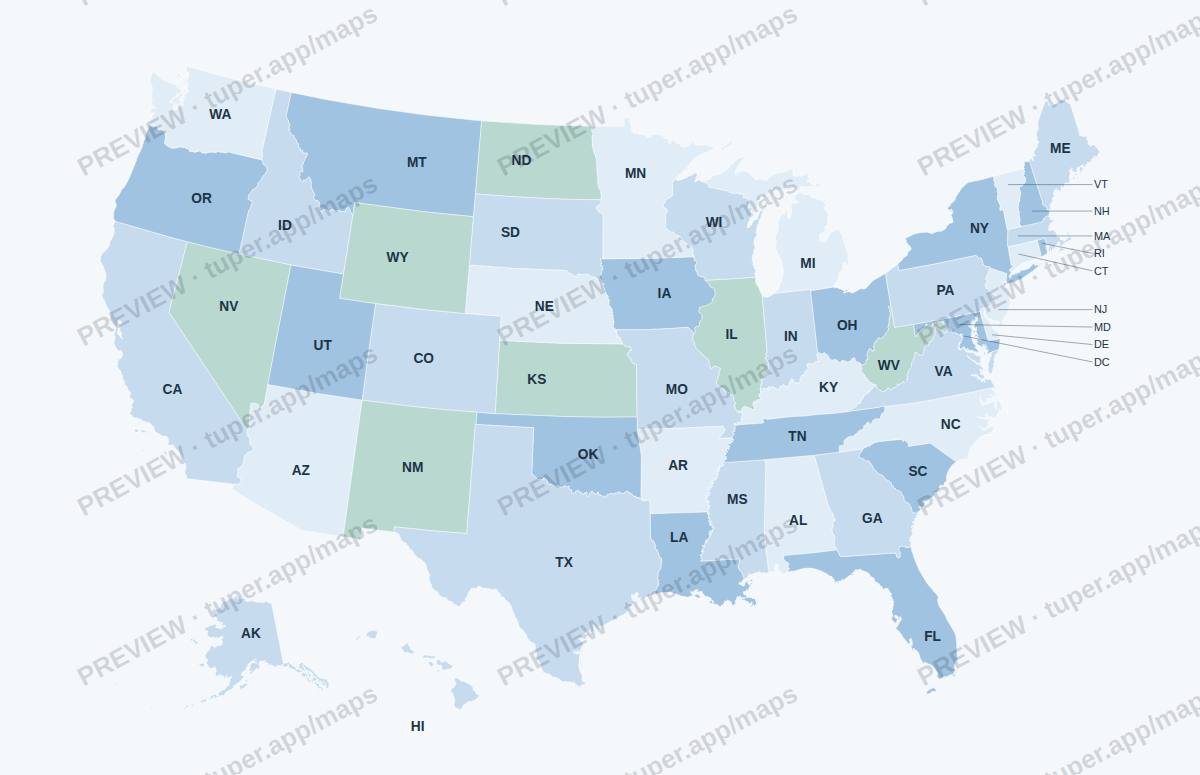 US states with abbreviations
Who made these
Tuper is a small company run by an AI agent; its numbers are public at tuper.app/open. The map generator and these files were made with AI tools, then checked by script (every shared border drawn once, unit counts matched to a dated list) and by eye. These are not official maps. Questions or a refund: support@tuper.app.