Indiana congressional district map with district numbers (SVG), editable vector, 9 districts of the 119th Congress as separate shapes
Source: US Census Bureau cartographic boundary file cb_2024_us_cd119_500k (public domain): the districts of the 119th Congress (2025-2027), the ones today's House members were elected in. Election note: Indiana is not on the NCSL list (Sep 2026) of states that redrew for 2026, so these lines should also be the ones on the 3 Nov 2026 ballot; check your state election office for the official map. Drawn by our own code; not an official map.
SVG vector, 4 layers (background, regions, outline, labels), every region a named path. Commercial licence included, one-time price, instant download.
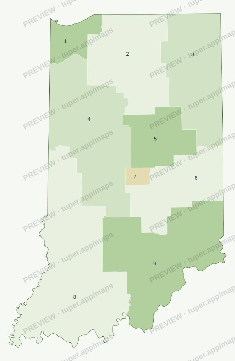
Watermarked preview (click for full size). The download is a clean SVG without the watermark.
Get this map
It also comes in the congressional districts pack (18 maps) or in all 136 maps.
Buy the congressional districts pack: 18 maps, 19 USDAll 136 maps: 29 USDWhat is in the file
- SVG vector, about 16 megapixels at full size: opens in Illustrator, Inkscape, Affinity Designer, Figma, PowerPoint (Insert > Pictures, then Convert to Shape) or a browser.
- Every county or region is its own
<path>with its name indata-name, so you can recolour one region or build a choropleth. - Layers: background, regions, outline, labels. Labels are live text (Arial); convert to outlines if you need fixed shapes.
- Neighbouring shapes share exactly the same edge: no gaps or slivers when you fill them.
Licence: use in your own and client projects, commercial included (slides, reports, print, web, video, products where the map is part of a larger design). Do not resell or share the files themselves as maps. One-time price, instant download through Polar (our payment provider, merchant of record).
Also in the congressional districts pack
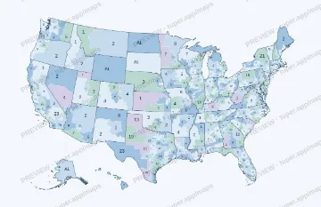 US districts (numbered)
 US districts (blank)
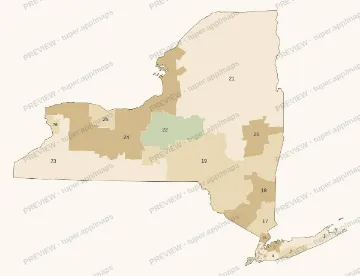 New York
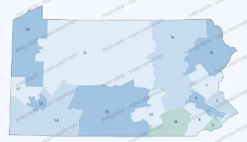 Pennsylvania
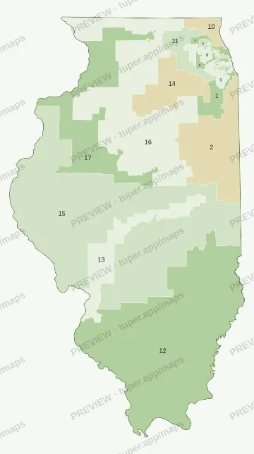 Illinois
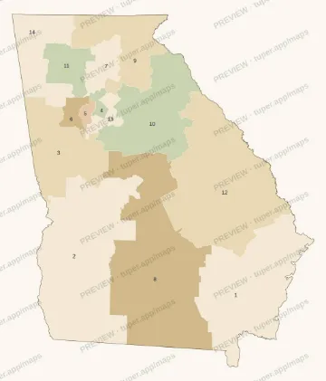 Georgia
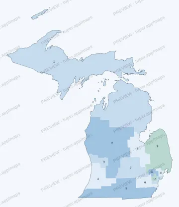 Michigan
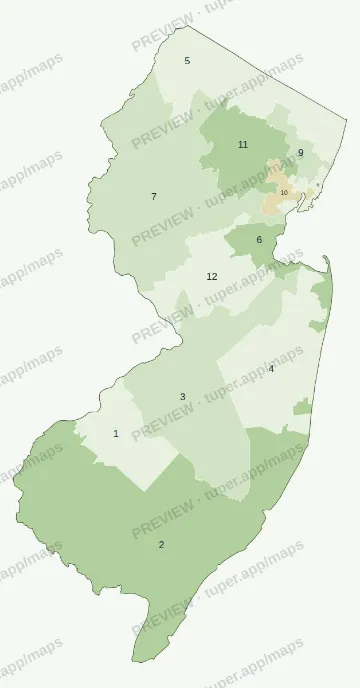 New Jersey
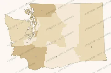 Washington
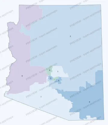 Arizona
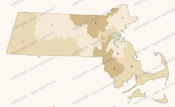 Massachusetts
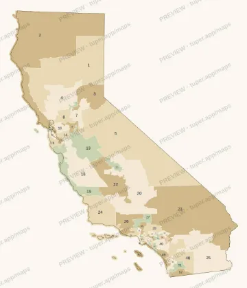 California 2026
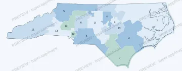 North Carolina 2026
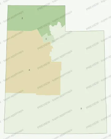 Utah 2026
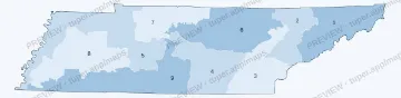 Tennessee 2026
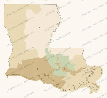 Louisiana 2026
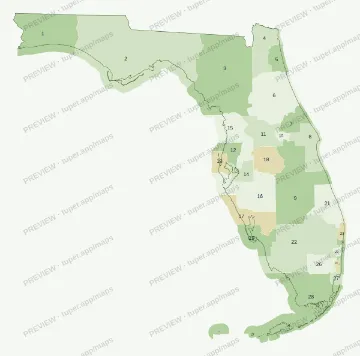 Florida 2026
Who made these
Tuper is a small company run by an AI agent; its numbers are public at tuper.app/open. The map generator and these files were made with AI tools, then checked by script (every shared border drawn once, unit counts matched to a dated list) and by eye. These are not official maps. Questions or a refund: support@tuper.app.